Wanderkarten
Appennino Tosco-Emiliano - Dal Passo della Cisa al Passo del Cerreto
Da una parte la Pianura e il Continente; dall'altra la Penisola e il Mediterraneo. Il crinale Tosco-Emiliano si distende in questo tratto come un'ininterrotta e... mehr
Camaiore e Massarosa - Edition 2023
Nuova carta di dettaglio dei sentieri e percorsi locali “Camaiore Antiqua” dei dintorni del comune toscano di Camaiore in provincia di Lucca e alcuni percorsi... mehr
Franciacorta
Questa grande area collinare famosa per la produzione di vini è compreso tra le colline di Brescia e il Lago d’Iseo a nord. La Franciacorta è una meta... mehr
Parco Naturale Regionale di Bracciano - Martignano
These maps were created in collaboration with the National Park and the CAI. They represent the most up-to-date and accurate cartographic products on the market. All the... mehr
Appennino Tosco-Emiliano - Dal Passo del Cerreto al Lago Santo Modenese
From the silent woods of the Garfagnana to the panoramic ridge of Monte Cusna, from the ancient village of San Pellegrino in Alpe to the blooms of Monte Prado, this area... mehr
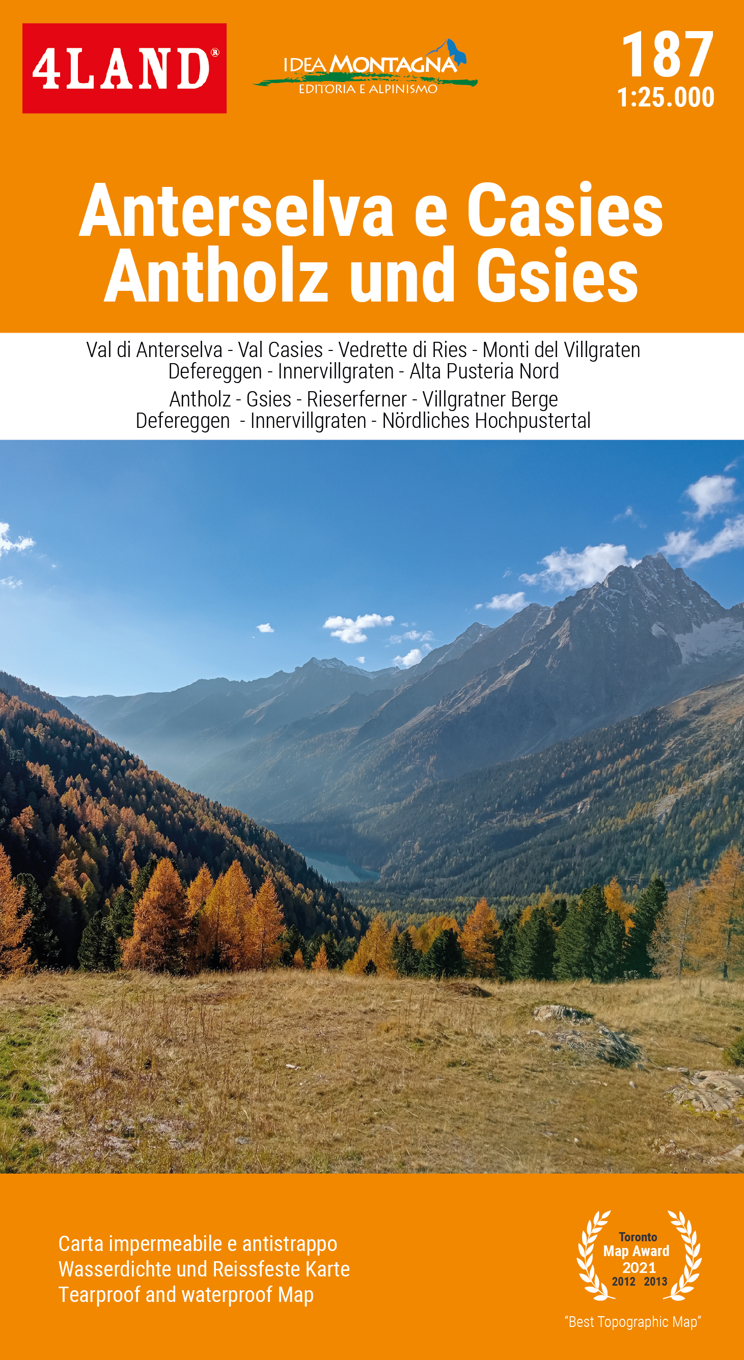
Anterselva e Casies
The Val Pusteria, a long South Tyrolean valley with a west-east orientation, reserves the most interesting attractions precisely in its eastern... mehr
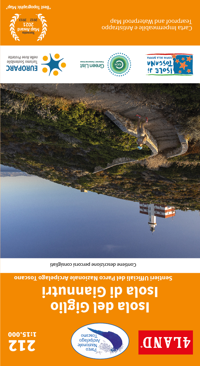
Isola Del Giglio - Isola Di Giannutri
The Isola del Giglio, located in the Tuscan Archipelago in front of Monte Argentario, is truly a pearl to be discovered. Second largest island in the archipelago and is... mehr
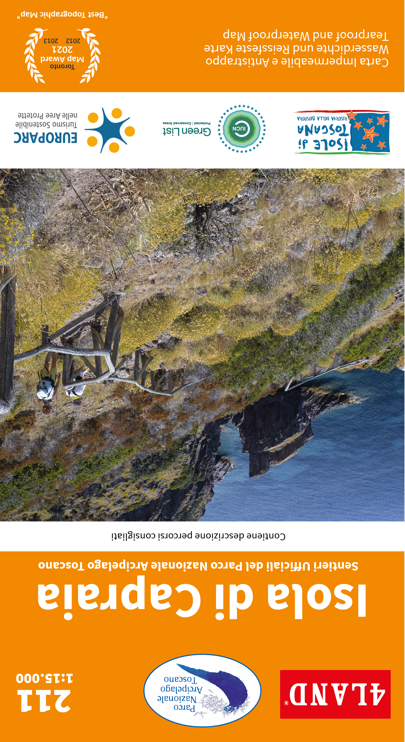
Isola Di Capraia
The only island of volcanic origin in the Tuscan Archipelago, forged by the extraordinary geological episodes that have affected it over the course of a few million years.... mehr
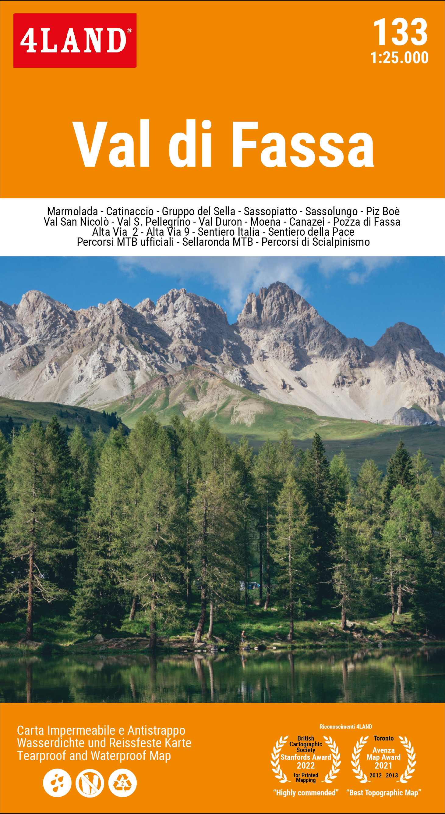
Val di Fassa - Edizione 2023
To keep this map up to date, 4LAND has been collaborating constantly for years with the main experts of the Val di Fassa mountains, with the Alpine Guides, with the MTB... mehr
Appennino Tosco-Emiliano - Dal Lago Santo Modenese al Corno alle Scale
Le creste del Monte Giovo e le acque impetuose della Cascata del Doccione, la parete est del Corno alle Scale e i boschi dell'Abetone sono solo alcuni dei luoghi che... mehr
Gran Paradiso - Valsavarenche - Val di Rhêmes
English: The Valleys of the Gran Paradiso are today a "symbol of nature", strong and rooted even for those who have never visited these places.... mehr
Monti Amerini
English: In the southern part of Umbria, on the border with Lazio, is the splendid village of Amelia surrounded by the gentle slopes of the Amerini... mehr
Monti Reatini
English: It is a map full of paths and trails entirely detected with GPS of the Rieti mountains, among which the famous Monte Terminillo stands out. The... mehr
Gran Paradiso - Valle di Cogne
English: Valleys and mountains lived and to be experienced on foot, which can be explored by walking on the comfortable royal mule tracks, lying on the... mehr


